Climate researchers estimate sea level rise impacts on Florida
By Dale White, dale.white@heraldtribune.com
If Floridians residing in coastal communities presume sea level rise is a turn-of-the-century problem for future generations, a group of scientists is delivering a weather forecast they may consider unsettling.
Five Florida communities — Cape Sable (the southern point of the peninsula), Key Biscayne, Key West, the Lower Keys and the Middle Keys — could experience recurring tidal flooding unrelated to any storm events by 2035, according to their study. Three of those locations — Cape Sable, the Lower Keys and Middle Keys — already find themselves partially submerged at times but the forecast says their frequently inundated areas will roughly double in size within the next 17 years.
Under the Union of Concerned Scientists’ fastest sea level rise scenario, 13 more communities could be added to that list by 2045 — including Merritt Island, Miami Beach, Ponte Vedra and St. Pete Beach. By that year, the group reports, 60 percent of the Lower Keys, 39 percent of the Middle Keys and 38 percent of Key West could find themselves underwater for about half of the year.
By 2060, under this “high scenario,” that number of Florida communities expands to 32 — including Cocoa Beach-Cape Canaveral, Fort Lauderdale, Jacksonville Beaches, Longboat Key and Palmetto.
If the scientists’ forecasts are even regarded as ballpark, the ramifications could be far reaching. Property values, real estate sales, tourist-oriented economies, insurance rates, local governments’ bond ratings, business revenues and more could be adversely affected, and much sooner than many people expect.
As the century rolls on, if their forecasts prove accurate, Floridians getting mortgages on waterfront property may want to consider whether their homes will even be accessible or habitable by the time they make their final payment.
Those who want their grandchildren to inherit their homes with views of a scenic shoreline — even a canal — may wonder whether their heirs could discover encroaching tides taking possession instead.
Founded in 1969, the Union of Concerned Scientists explores how public policy and welfare are affected by science-based issues — such as nuclear power, food production and climate change. On the latter topic, the organization — which consists of 200 staff members and 23,000 science network membersfrom diverse fields — is engaged in an ongoing exploration of how global warming could cause sea level rise in 23 coastal states in the continental United States (excluding Alaska).
Erika Spanger-Siegfried, senior climate analyst for the organization, said coastal communities need “a clear sense of when to expect change.”
“People see climate change on this long-term horizon,” said Susan Glickman, Florida director of the Southern Alliance for Clean Energy. “It’s difficult to get people to focus” on the not-as-distant future.

The union used 20 years of records from more than 90 National Oceanic and Atmospheric Administration tidal gauges, NOAA’s digital elevation models and sea level rise projections, U.S. Army Corps of Engineers’ localized projections for each tidal gauge area, as well as interviews with experts about the frequency of local flooding in various locations, such as Annapolis and Charleston, to arrive at its own range of calculations.
“The information in the data sets should be regarded as approximate and used as a guide for further investigation,” the organization stated in its “When Rising Seas Hit Home” report issued last year.
Robert Musil, president and chief executive of the Rachel Carson Council and an adjunct professor at American University who teaches about climate change and environmental politics, credits the scientific group with “a long record of accurate information, particularly on climate change. They are a very reliable source. Their projections seem reasonable to me.”
Although he has not examined all of the findings for Florida, Ken Lindeman, sustainability program chairman at the Florida Institute of Technology, said that, in his experience, he has found the UCS’s research to be “credible or very credible.”
Shimon Wdowinski, assistant professor with the Department of Earth and Environment at Florida International University who is also affiliated with FIU’s Sea Level Solutions Center, also said he could not comment on the study’s specifics because he does not know “the assumptions used for the calculations.”
However, he said the union’s definition of “chronic inundation” as flooding that occurs 26 times a year — or, on average, every other week — could mislead some residents into thinking the overreaching tides could be a year-round occurrence.
He noted that “tidal flooding doesn’t occur regularly because tide levels vary seasonally and annually.” Depending “on the astronomical position of the sun and moon,” his research shows that “sea level is higher in Miami during the fall (September-November).”
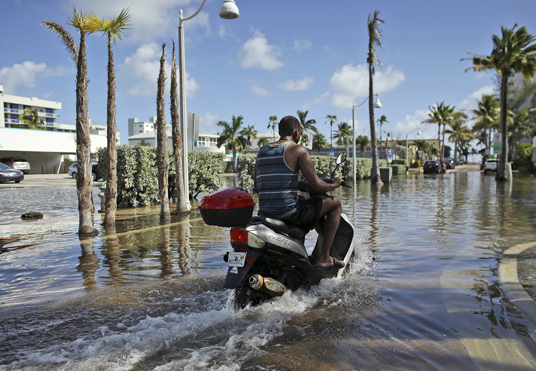
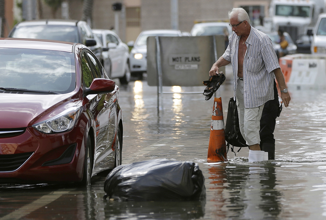
During the past decade, “tidal flooding in Miami Beach has occurred several days per year for a few hours per event ... but the number of events have increased,” Wdowinski confirmed.
‘Chronic inundation’
The union defines “chronic inundation” as tidal flooding that occurs 26 times a year (averaging about twice a month) and makes at least 10 percent of a community’s land (excluding wetlands) unusable.
The flooding is “so disruptive that it would prevent business as usual,” said Astrid Caldas, UCS senior climate scientist.
The UCS website includes interactive maps that residents and public officials can use to see “moderate” and “high” scenarios for their communities. It also conveys what percentage of the land in each area could experience chronic inundation and by what year.
The “low scenario” is based on the presumption that a significant reduction in carbon emissions from fossil fuel-burning sources, such as vehicles and power plants (which are considered a cause of global warming), occurs as societies shift to renewable energy sources. The current rate of ice loss also slows considerably under the assumptions.
“The low scenario is extremely optimistic,” Spanger-Siegfried said.
The intermediate scenario is based on the presumption that thermal expansion of the oceans and melting of land-based ice continues as it has been, resulting in global sea level of rise of 4 feet by the end of the century.
The high scenario would be associated with a greater extent of glacier melting, causing seas to eventually rise 6.6 feet.
This year’s updated projections by NOAA now include an “extreme” forecast of sea level rise of 8 feet by 2100, which the UCS did not use.
So the union’s “high” scenario is not even considered “worst case,” Caldas said.
According to the UCS, Southeast Florida and the Florida Keys can expect impacts earlier than other regions of the state.
As decades pass, more of the peninsula becomes inundated.
The UCS used boundaries defined by the U.S. Census Bureau to identify the listed communities, some of which may include more than one municipality.
Bradenton, for example, makes the high scenario rankings in 2080 with 12 percent chronic inundation partly because that analysis includes Anna Maria Island and the Cortez fishing village.
The city of Sarasota is not included in any of the scenarios because it did not reach the threshold of 10 percent of its land experiencing chronic inundation. Even so, the maps show areas such as St. Armands Key heavily impacted as early as 2045.
Tampa does not make the list either, Melissa Baldwin, media spokesperson of the UCS project, noted. Yet when viewers “zoom in” on the interactive map they will see parts of Bayshore Boulevard incurring chronic inundation by 2030.

‘An unbelievable crossroads’
Baldwin emphasized, however, that the UCS is not trying to present a “gloom and doom” prediction.
As they look at the projections, communities can decide whether their response should be to “defend, accommodate or retreat,” Spanger-Siegfriend said.
“You can accommodate the ocean” by elevating buildings and roads, creating channels or constructing levees, she noted. “It’s challenging to keep tides out,” however, and localities must decide “when and where it is worth the investment.”
Lindeman of the Florida Institute of Technology is assisting the barrier island city where he resides, Satellite Beach, in considering or adopting policies, such as a “coastal construction control line,” so it can brace for sea level rise.
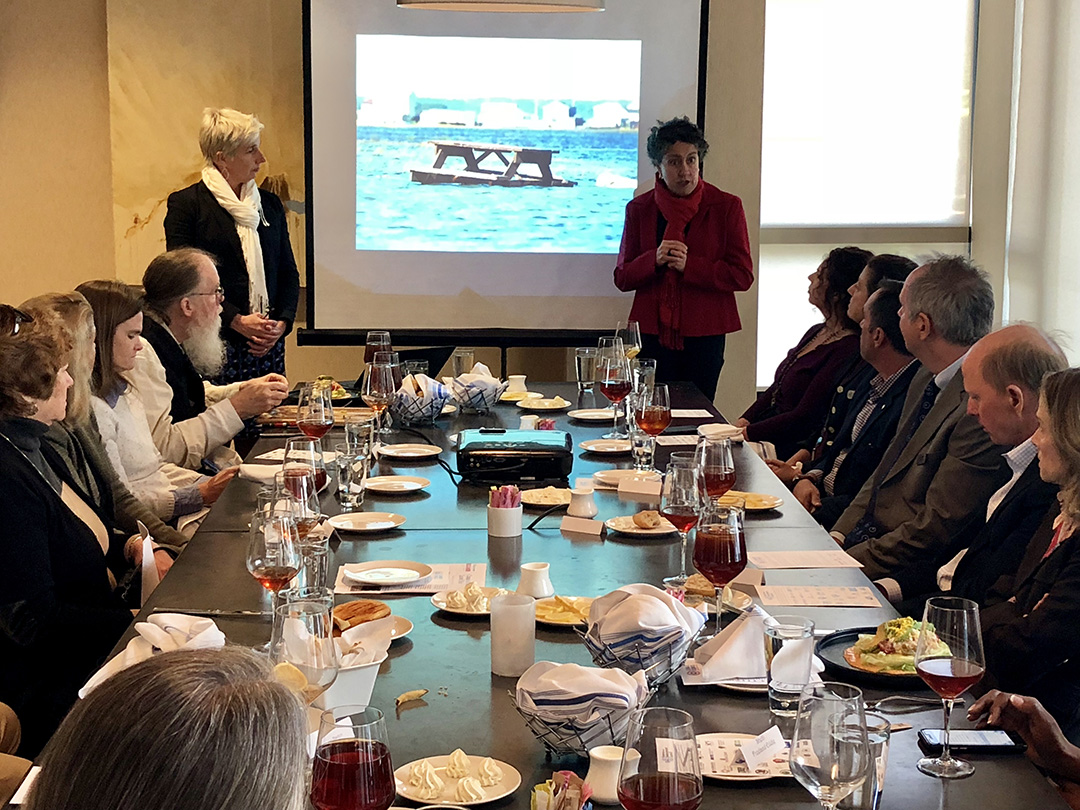
For a community to take on such a challenge, “you have to have a committed (city) council majority,” Lindeman explained at a recent seminar sponsored by 1,000 Friends of Florida. “You have to have committed city staff. And you have to have committed citizens.”
Tara McCue, director of planning and community development for the East Central Florida Regional Planning Council, has also worked with Satellite Beach and agreed with Lindeman’s assessment that official and public buy-in is essential.
Of Satellite Beach’s 10,000 residents, 479 responded to a city survey about whether the community should make preparations for sea level rise, such as installing larger drainage pipes, moving utilities to higher ground and adopting new infrastructure, zoning and construction standards.

Less than 1 percent of the respondents took the stand that “none of this is necessary,” McCue said.
Miami-Dade County, Broward County, Miami Beach, Sarasota, Punta Gorda, New Smyrna Beach and other Florida communities are also working on their own strategies for how they can adapt to rising seas.
If they and more counties and municipalities think and plan ahead, the projections in the UCS report need not all come to pass, said Glickman of the Southern Alliance for Clean Energy.
“We are at an unbelievable crossroads,” Glickman said. “We can deal with this. This is a clarion call for action. We should not make it (potential flooding) worse. Business as usual is not a pretty picture.”
